vahonen.com
2012 week 30 - Melkuttimet, Tammela - part 2
Here is 2nd set of photos from this location.
"Melkuttimet 2012-09" - Leica APO-Elmarit-R 180mm f/2.8 @ f/5.6,
1/1000s, ISO 100
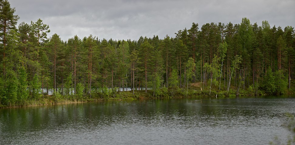
"Melkuttimet 2012-10" - Carl Zeiss Distagon
T* 2/25 @ f/5.6, 1/200s, ISO 100, panorama
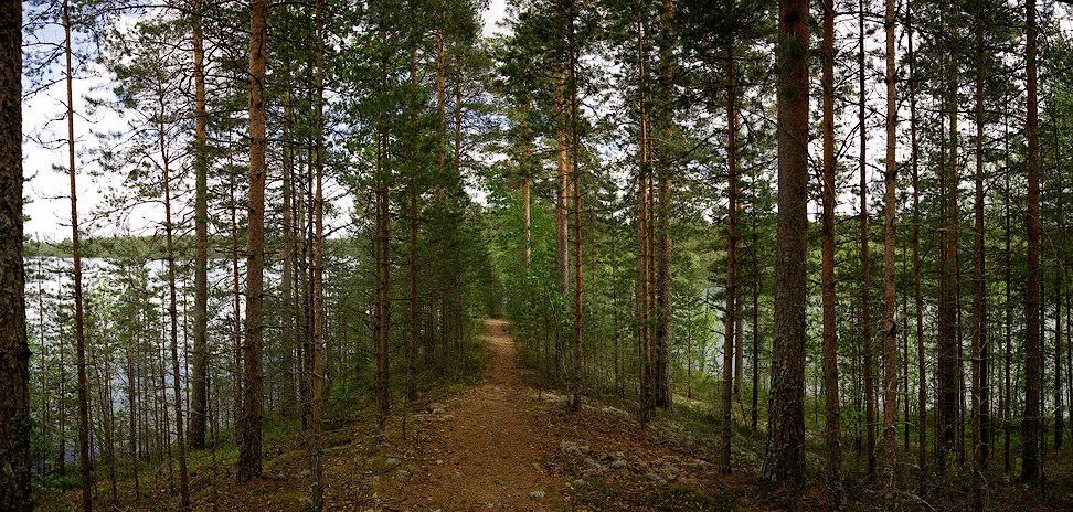
"Melkuttimet 2012-11" - Carl Zeiss Makro-Planar
T* 2/100 @ f/2.8, 1/500s, ISO 100, panorama
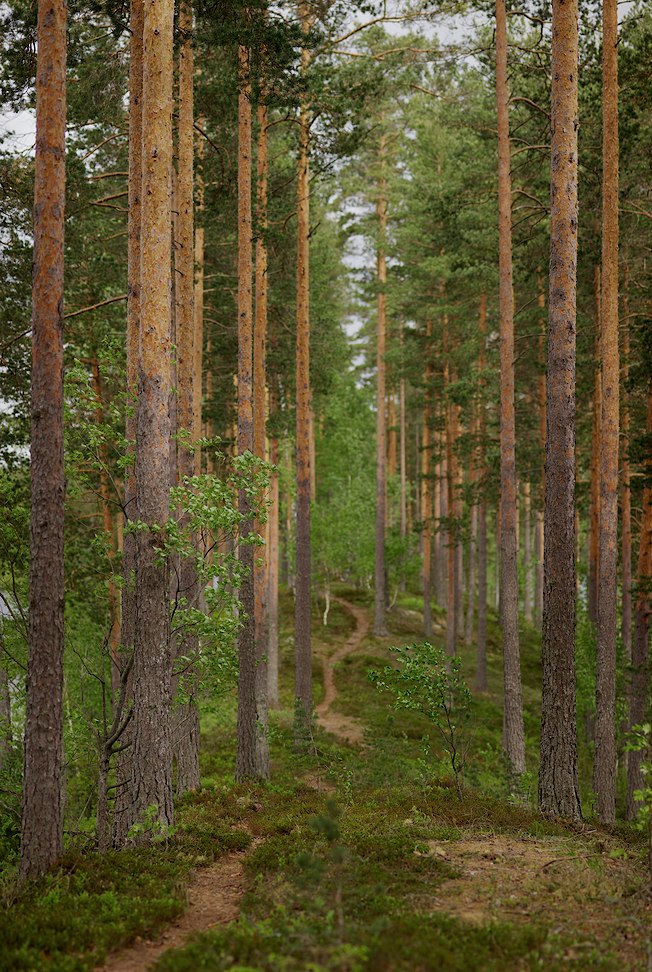
"Melkuttimet 2012-12" - Carl Zeiss Distagon
T* 2/25 @ f/5, HDR(1/50s, 1/160s and 1/500s), ISO 100
_972.jpg)
"Melkuttimet 2012-13" - Carl Zeiss Makro-Planar
T* 2/100 @ f/11, 1/60s, ISO 100
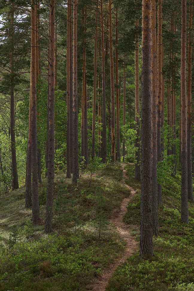
"Melkuttimet 2012-14" - Carl Zeiss Makro-Planar
T* 2/100 @ f/8, 1/60s, ISO 100
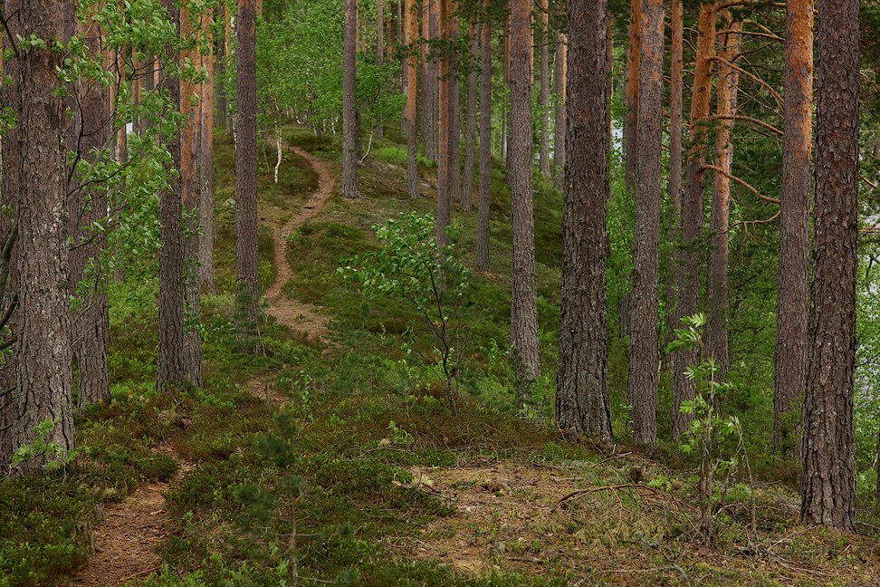
"Melkuttimet 2012-15" - Carl Zeiss Planar
T* 1,4/50 @ f/2.8, 1/800s, ISO 100
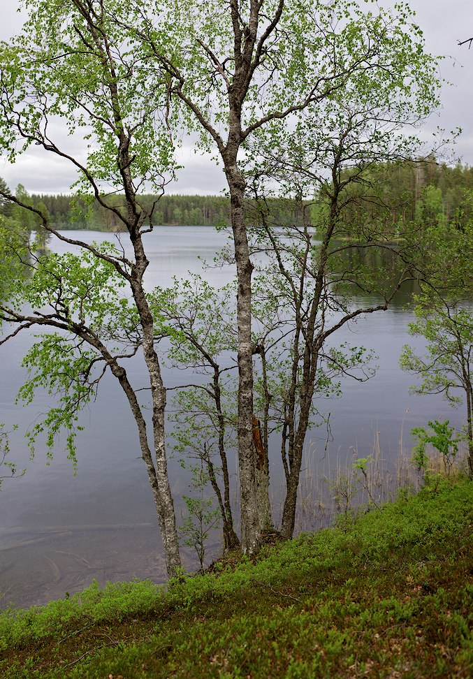
"Melkuttimet 2012-16" - Carl Zeiss Distagon
T* 2/25 @ f/5.6, 1/500s, ISO 100
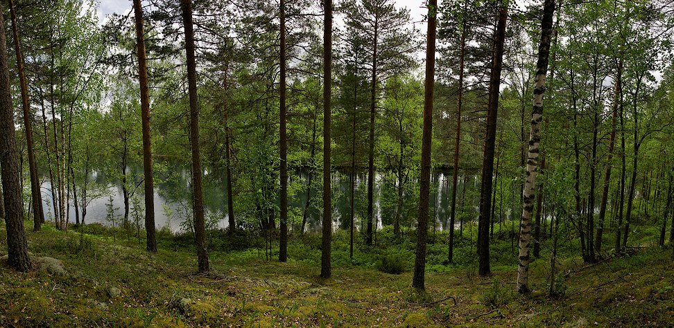
"Melkuttimet 2012-17" - Carl Zeiss Makro-Planar
T* 2/100 @ f/5.6, 1/400s, ISO 100
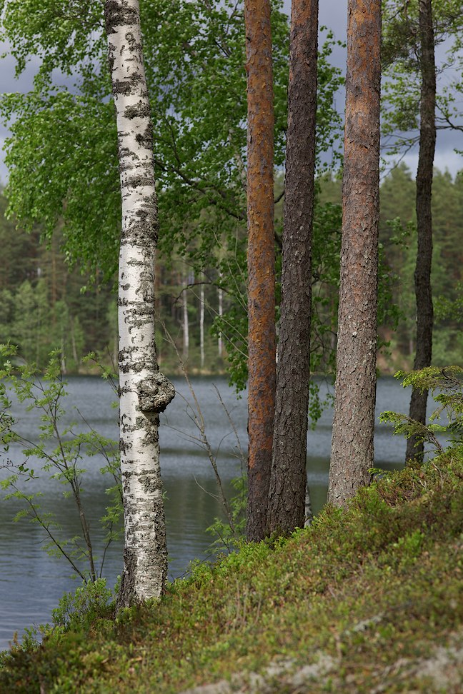
"Melkuttimet 2012-18" - Carl Zeiss Makro-Planar
T* 2/100 @ f/2.5, 1/1250s, ISO 100
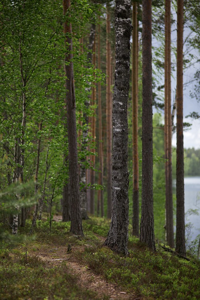
"Melkuttimet 2012-19" - Carl Zeiss Planar
T* 1,4/50 @ f/5.6, HDR(1/250s, 1/800s and 2500s), ISO 100
_972.jpg)
Since Google Maps doesn't have proper topo-maps, here is embedded page from
Kansalaisen
Karttapaikka
Links to old content:
Old website
